Old Guide Stone by Rooley Moor Road, near Catley Lane Head
Introduction
The photograph on this page of Old Guide Stone by Rooley Moor Road, near Catley Lane Head by Milestone Society as part of the Geograph project.
The Geograph project started in 2005 with the aim of publishing, organising and preserving representative images for every square kilometre of Great Britain, Ireland and the Isle of Man.

There are currently over 7.5m images from over 14,400 individuals and you can help contribute to the project by visiting https://www.geograph.org.uk
Old Guide Stone by Rooley Moor Road, near Catley Lane Head
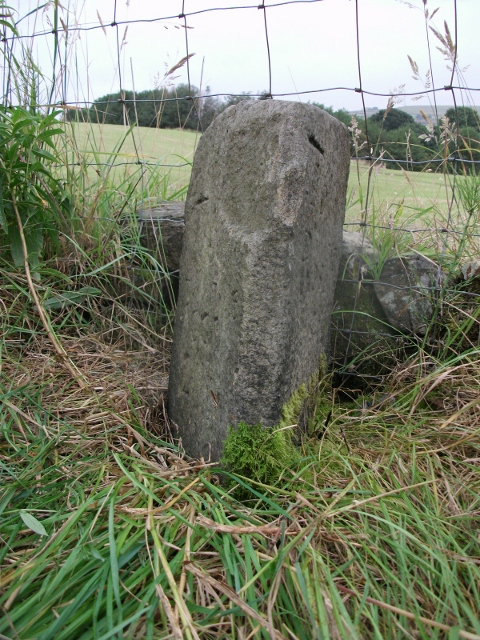
Image: © Milestone Society Taken: Unknown
Guide Stone by the UC road, in parish of Rochdale (Rochdale District), Catley Lane Head, 30m North of last house (No. 607) in Rooley Moor Road. Surveyed Milestone Society National ID: LA_XROC01
Images are licensed for reuse under creativecommons.org/licenses/by-sa/2.0
Image Location
Latitude
53.63488
Longitude
-2.190317