Embankment to old tip workings
Introduction
The photograph on this page of Embankment to old tip workings by Peter Bainbridge as part of the Geograph project.
The Geograph project started in 2005 with the aim of publishing, organising and preserving representative images for every square kilometre of Great Britain, Ireland and the Isle of Man.

There are currently over 7.5m images from over 14,400 individuals and you can help contribute to the project by visiting https://www.geograph.org.uk
Embankment to old tip workings
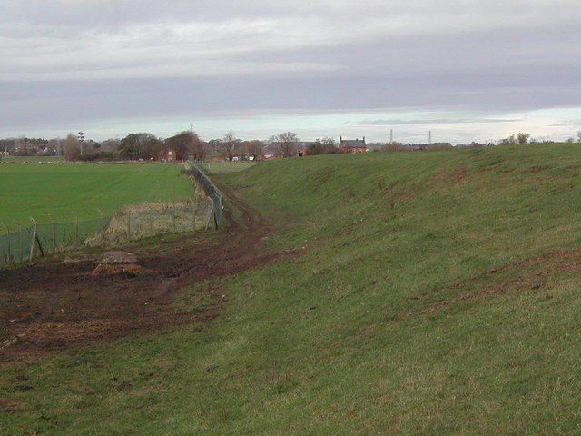
Image: © Peter Bainbridge Taken: 11 Nov 2007
The embankment which marks the edge of the old landfill tip. Grange Farm is the red brick building in the background.
Images are licensed for reuse under creativecommons.org/licenses/by-sa/2.0
Image Location


Leaflet Map data © OpenStreetMap
Latitude
53.742343
Longitude
-2.843873