Parc Pantglas / Pantglas Park
Introduction
The photograph on this page of Parc Pantglas / Pantglas Park by Alan Richards as part of the Geograph project.
The Geograph project started in 2005 with the aim of publishing, organising and preserving representative images for every square kilometre of Great Britain, Ireland and the Isle of Man.

There are currently over 7.5m images from over 14,400 individuals and you can help contribute to the project by visiting https://www.geograph.org.uk
Parc Pantglas / Pantglas Park
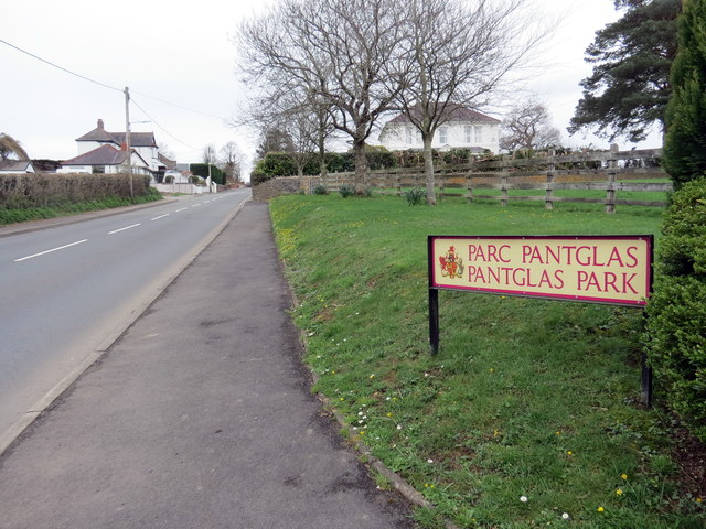
Image: © Alan Richards Taken: 23 Mar 2019
Enw ystad Parc Pantglas wrth ochr y B4302. Pantglas Park (trans. green hollow park), the name of an estate alongside the B4302.
Images are licensed for reuse under creativecommons.org/licenses/by-sa/2.0
Image Location
Latitude
51.892703
Longitude
-3.987651