Pentre Rhosmaen Rhosmaen village
Introduction
The photograph on this page of Pentre Rhosmaen Rhosmaen village by Alan Richards as part of the Geograph project.
The Geograph project started in 2005 with the aim of publishing, organising and preserving representative images for every square kilometre of Great Britain, Ireland and the Isle of Man.

There are currently over 7.5m images from over 14,400 individuals and you can help contribute to the project by visiting https://www.geograph.org.uk
Pentre Rhosmaen Rhosmaen village
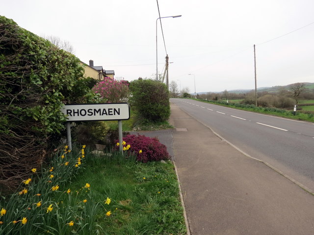
Image: © Alan Richards Taken: 23 Mar 2019
Yr A40 yn mynd drwy bentre Rhosmaen. The A40 reaches the village of Rhosmaen (trans. marshland / plain of the stone).
Images are licensed for reuse under creativecommons.org/licenses/by-sa/2.0
Image Location
Latitude
51.89506
Longitude
-3.981214