Tollhouse by Gloucester Road, Lower Swainswick
Introduction
The photograph on this page of Tollhouse by Gloucester Road, Lower Swainswick by Alan Rosevear as part of the Geograph project.
The Geograph project started in 2005 with the aim of publishing, organising and preserving representative images for every square kilometre of Great Britain, Ireland and the Isle of Man.

There are currently over 7.5m images from over 14,400 individuals and you can help contribute to the project by visiting https://www.geograph.org.uk
Tollhouse by Gloucester Road, Lower Swainswick
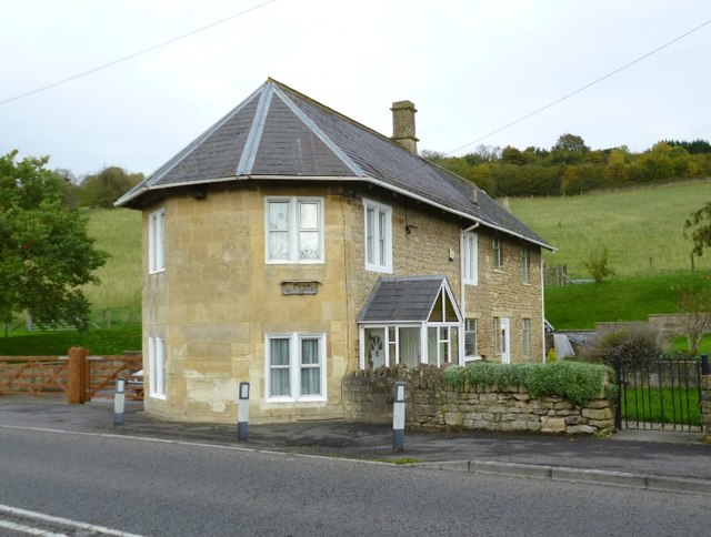
Image: © Alan Rosevear Taken: 1 Nov 2013
Tollhouse in the parish of Swainswick (Bath and North East Somerset District), Turnpike Cottage, Gloucester Road, Lower Swainswick, BA1 8BG. Grade II listed. List Entry Number: 1276998 https://historicengland.org.uk/listing/the-list/list-entry/1276998 Surveyed Milestone Society National ID: AV.SWA
Images are licensed for reuse under creativecommons.org/licenses/by-sa/2.0
Image Location
Latitude
51.404183
Longitude
-2.342043