Old Boundary Marker by the A35, Burgess Road
Introduction
The photograph on this page of Old Boundary Marker by the A35, Burgess Road by Milestone Society as part of the Geograph project.
The Geograph project started in 2005 with the aim of publishing, organising and preserving representative images for every square kilometre of Great Britain, Ireland and the Isle of Man.

There are currently over 7.5m images from over 14,400 individuals and you can help contribute to the project by visiting https://www.geograph.org.uk
Old Boundary Marker by the A35, Burgess Road
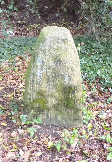
Image: © Milestone Society Taken: Unknown
Municipal Boundary Marker - Rosemary Stone, by the A35, in parish of Southampton (Southampton District), Burgess Road, between the junctions with Hill Lane and Burgess Gardens, overlooking ditch and embankment, South side of road. Southampton HER. HER Number: MSH201 https://www.heritagegateway.org.uk/Gateway/Results_Single.aspx?uid=MSH201&resourceID=1016 Surveyed Milestone Society National ID: HA_SOUCOM01pb
Images are licensed for reuse under creativecommons.org/licenses/by-sa/2.0
Image Location
Latitude
50.933982
Longitude
-1.41692