Parish Boundary Marker by Old Tavistock Road, Plymouth
Introduction
The photograph on this page of Parish Boundary Marker by Old Tavistock Road, Plymouth by Alan Rosevear as part of the Geograph project.
The Geograph project started in 2005 with the aim of publishing, organising and preserving representative images for every square kilometre of Great Britain, Ireland and the Isle of Man.

There are currently over 7.5m images from over 14,400 individuals and you can help contribute to the project by visiting https://www.geograph.org.uk
Parish Boundary Marker by Old Tavistock Road, Plymouth
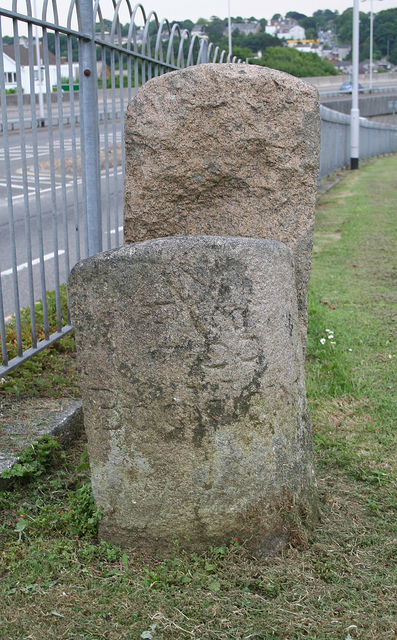
Image: © Alan Rosevear Taken: 18 Jun 2010
Parish Boundary Marker by the UC road (was A386), in parish of Plymouth (Plymouth District), Old Tavistock Road, Egg Buckland, parallel to A386, on grass verge above A386, by fence. Adjacent to Boundary Marker: DV_PLTV09apb Image Inscription reads:- Egg Buckland Surveyed Milestone Society National ID: DV_PLTV09bpb
Images are licensed for reuse under creativecommons.org/licenses/by-sa/2.0
Image Location
Latitude
50.402637
Longitude
-4.134716