Eland Way
Introduction
The photograph on this page of Eland Way by Keith Edkins as part of the Geograph project.
The Geograph project started in 2005 with the aim of publishing, organising and preserving representative images for every square kilometre of Great Britain, Ireland and the Isle of Man.

There are currently over 7.5m images from over 14,400 individuals and you can help contribute to the project by visiting https://www.geograph.org.uk
Eland Way
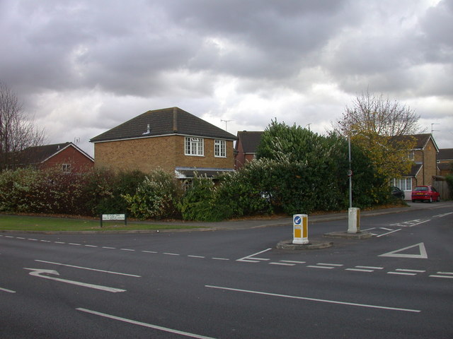
Image: © Keith Edkins Taken: 11 Nov 2007
A turning off Gazelle Way, and the ruminant theme is continued into the side roads Caribou Way, Impala Drive and Antelope Way.
Images are licensed for reuse under creativecommons.org/licenses/by-sa/2.0
Image Location
Latitude
52.194837
Longitude
0.186146