Ruin, Hardedge
Introduction
The photograph on this page of Ruin, Hardedge by Mick Garratt as part of the Geograph project.
The Geograph project started in 2005 with the aim of publishing, organising and preserving representative images for every square kilometre of Great Britain, Ireland and the Isle of Man.

There are currently over 7.5m images from over 14,400 individuals and you can help contribute to the project by visiting https://www.geograph.org.uk
Ruin, Hardedge
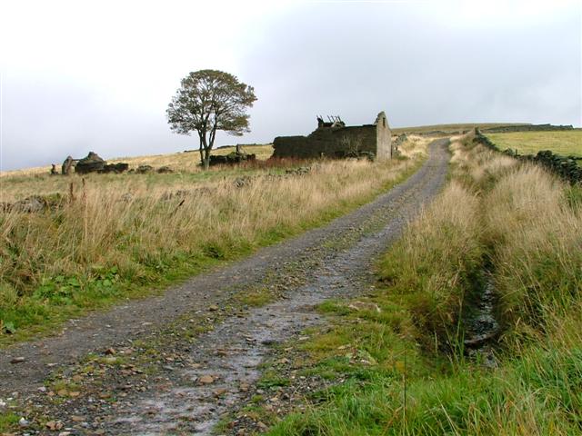
Image: © Mick Garratt Taken: 1 Oct 2005
The track is part of the Coast to Coast National Cycleway Route No. 7. View east from Whitehall towards Hardedge.
Images are licensed for reuse under creativecommons.org/licenses/by-sa/2.0
Image Location


Leaflet Map data © OpenStreetMap
Latitude
54.791313
Longitude
-2.340549