Old Wayside Cross on Salisbury Road, Christchurch
Introduction
The photograph on this page of Old Wayside Cross on Salisbury Road, Christchurch by M Faherty as part of the Geograph project.
The Geograph project started in 2005 with the aim of publishing, organising and preserving representative images for every square kilometre of Great Britain, Ireland and the Isle of Man.

There are currently over 7.5m images from over 14,400 individuals and you can help contribute to the project by visiting https://www.geograph.org.uk
Old Wayside Cross on Salisbury Road, Christchurch
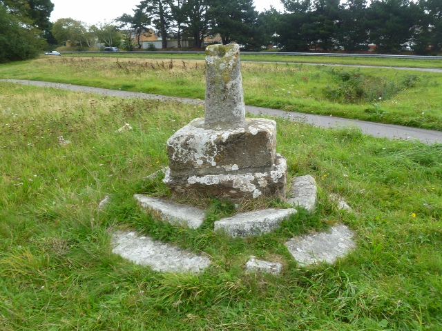
Image: © M Faherty Taken: 25 Sep 2011
Staple Cross, old shaft, base & steps, by the UC road, in parish of Christchurch (Christchurch District), Salisbury Road, at the junction of Hawthorn Road and Ambury Lane, just north of the A35 Christchurch by-pass, on green area back from road. Scheduled Monument. List Entry Number: 1002369 https://historicengland.org.uk/listing/the-list/list-entry/1002369 To be surveyed Milestone Society National ID: DOCH_CHR
Images are licensed for reuse under creativecommons.org/licenses/by-sa/2.0
Image Location
Latitude
50.743627
Longitude
-1.757706