Old Bridge Marker by Old Totnes Road, Ashburton
Introduction
The photograph on this page of Old Bridge Marker by Old Totnes Road, Ashburton by Alan Rosevear as part of the Geograph project.
The Geograph project started in 2005 with the aim of publishing, organising and preserving representative images for every square kilometre of Great Britain, Ireland and the Isle of Man.

There are currently over 7.5m images from over 14,400 individuals and you can help contribute to the project by visiting https://www.geograph.org.uk
Old Bridge Marker by Old Totnes Road, Ashburton
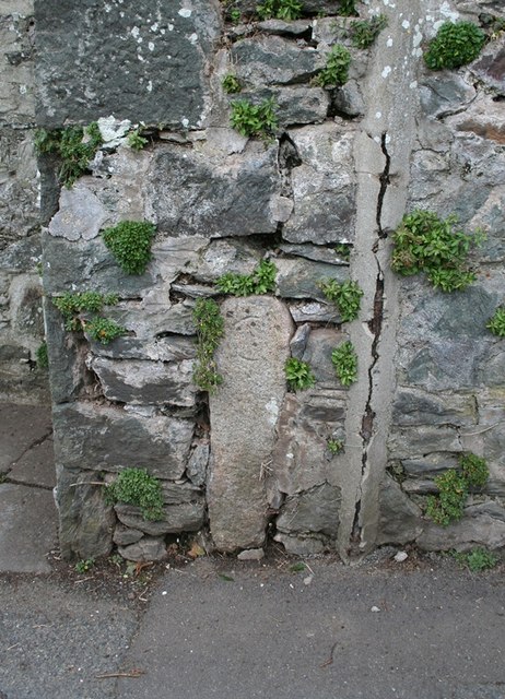
Image: © Alan Rosevear Taken: 24 Feb 2012
Bridge Marker by the UC road, in parish of Ashburton (Teignbridge District), Old Totnes Road, near Gulwell Bridge, cemented in wall at foot of steps to "Westbury", Northwest side of road. Surveyed Milestone Society National ID: DV_ASTO01br
Images are licensed for reuse under creativecommons.org/licenses/by-sa/2.0
Image Location
Latitude
50.511084
Longitude
-3.758737