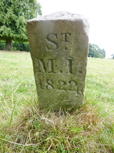
Old Boundary Marker on Morven Park, Potters Bar
Introduction
The photograph on this page of Old Boundary Marker on Morven Park, Potters Bar by P Carey as part of the Geograph project.
The Geograph project started in 2005 with the aim of publishing, organising and preserving representative images for every square kilometre of Great Britain, Ireland and the Isle of Man.
There are currently over 7.5m images from over 14,400 individuals and you can help contribute to the project by visiting https://www.geograph.org.uk

Image: © P Carey Taken: 10 Aug 2016
Estate Boundary Marker in parish of Potters Bar (Hertsmere District), Morven Park, opposite Quakers Lane. Inscription reads:- Sᵀ. M.I. 1822 altered to 1824 The initials St M I relate to St Mary Islington. Hertfordshire HER & St Albans UAD HHER Number: 11543 https://www.heritagegateway.org.uk/Gateway/Results_Single.aspx?uid=MHT11543&resourceID=1008 To be surveyed Milestone Society National ID: HE_SMI01em

