Old Bridge Marker on Wormingford Bridge, Mill Hill, Wormingford
Introduction
The photograph on this page of Old Bridge Marker on Wormingford Bridge, Mill Hill, Wormingford by M Bardell as part of the Geograph project.
The Geograph project started in 2005 with the aim of publishing, organising and preserving representative images for every square kilometre of Great Britain, Ireland and the Isle of Man.

There are currently over 7.5m images from over 14,400 individuals and you can help contribute to the project by visiting https://www.geograph.org.uk
Old Bridge Marker on Wormingford Bridge, Mill Hill, Wormingford
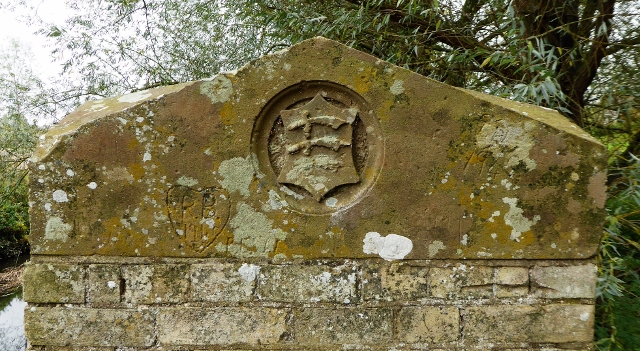
Image: © M Bardell Taken: 23 Oct 2017
Bridge Marker by the UC road, in parish of Wormingford (Colchester District), Mill Hill, Wormingford Bridge, River Stour, carved stone at top of Southeast bridge pier. Surveyed Milestone Society National ID: EX_WORM01br
Images are licensed for reuse under creativecommons.org/licenses/by-sa/2.0
Image Location
Latitude
51.961012
Longitude
0.812526