Old Boundary Marker by the A37, Bristol Road, Whitchurch
Introduction
The photograph on this page of Old Boundary Marker by the A37, Bristol Road, Whitchurch by Milestone Society as part of the Geograph project.
The Geograph project started in 2005 with the aim of publishing, organising and preserving representative images for every square kilometre of Great Britain, Ireland and the Isle of Man.

There are currently over 7.5m images from over 14,400 individuals and you can help contribute to the project by visiting https://www.geograph.org.uk
Old Boundary Marker by the A37, Bristol Road, Whitchurch
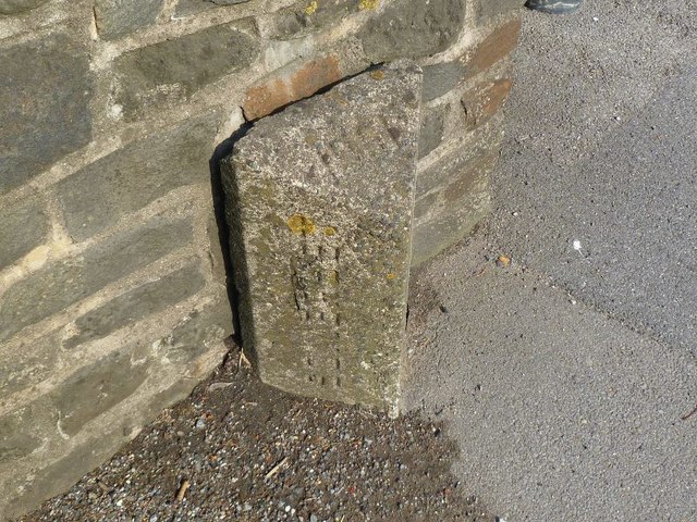
Image: © Milestone Society Taken: Unknown
County Boundary Marker by the A37, in parish of Whitchurch (Bath and North East Somerset District), Bristol Road, Northern end of Saltwell Viaduct, just South of junction with Wells Close. Inscription reads vertically:- : SOMERSET : : 1951 : BRISTOL : Surveyed Milestone Society National ID: SO_SSBR01cb
Images are licensed for reuse under creativecommons.org/licenses/by-sa/2.0
Image Location
Latitude
51.411226
Longitude
-2.558849