Newland Street
Introduction
The photograph on this page of Newland Street by Ian Capper as part of the Geograph project.
The Geograph project started in 2005 with the aim of publishing, organising and preserving representative images for every square kilometre of Great Britain, Ireland and the Isle of Man.

There are currently over 7.5m images from over 14,400 individuals and you can help contribute to the project by visiting https://www.geograph.org.uk
Newland Street
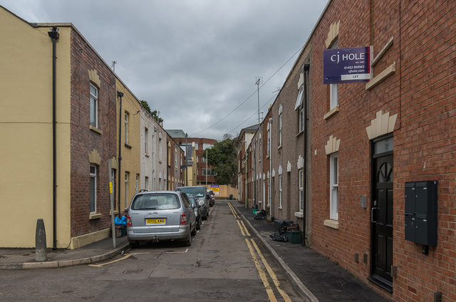
Image: © Ian Capper Taken: 16 Mar 2019
Cul-de-sac of terraced housings described in Gloucester City Council's London Road Conservation Area appraisal as "late 19th-century artisans' houses with flat-arched door and window heads of five raised-and-stepped stone voussoirs".
Images are licensed for reuse under creativecommons.org/licenses/by-sa/2.0
Image Location
Latitude
51.867956
Longitude
-2.234506