Rooftop solar panels, Dulais Fach Road, Tonna
Introduction
The photograph on this page of Rooftop solar panels, Dulais Fach Road, Tonna by Jaggery as part of the Geograph project.
The Geograph project started in 2005 with the aim of publishing, organising and preserving representative images for every square kilometre of Great Britain, Ireland and the Isle of Man.

There are currently over 7.5m images from over 14,400 individuals and you can help contribute to the project by visiting https://www.geograph.org.uk
Rooftop solar panels, Dulais Fach Road, Tonna
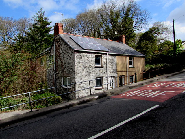
Image: © Jaggery Taken: 3 May 2016
On the north side of the B4434 Dulais Fach Road viewed in May 2016. Neither the panels nor the English/Welsh SLOW/ARAF on the road were here in a May 2011 Google Street View.
Images are licensed for reuse under creativecommons.org/licenses/by-sa/2.0
Image Location


Leaflet Map data © OpenStreetMap
Latitude
51.678874
Longitude
-3.773885