Bridleway/ Lane to Lee Park House
Introduction
The photograph on this page of Bridleway/ Lane to Lee Park House by Peter Holmes as part of the Geograph project.
The Geograph project started in 2005 with the aim of publishing, organising and preserving representative images for every square kilometre of Great Britain, Ireland and the Isle of Man.

There are currently over 7.5m images from over 14,400 individuals and you can help contribute to the project by visiting https://www.geograph.org.uk
Bridleway/ Lane to Lee Park House
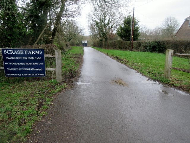
Image: © Peter Holmes Taken: 15 Mar 2019
Black Gate Lane, public bridleway 3423.
Images are licensed for reuse under creativecommons.org/licenses/by-sa/2.0
Image Location
Latitude
50.995484
Longitude
-0.498741