Ebbw Fach Trail at Lower Castle Street
Introduction
The photograph on this page of Ebbw Fach Trail at Lower Castle Street by M J Roscoe as part of the Geograph project.
The Geograph project started in 2005 with the aim of publishing, organising and preserving representative images for every square kilometre of Great Britain, Ireland and the Isle of Man.

There are currently over 7.5m images from over 14,400 individuals and you can help contribute to the project by visiting https://www.geograph.org.uk
Ebbw Fach Trail at Lower Castle Street
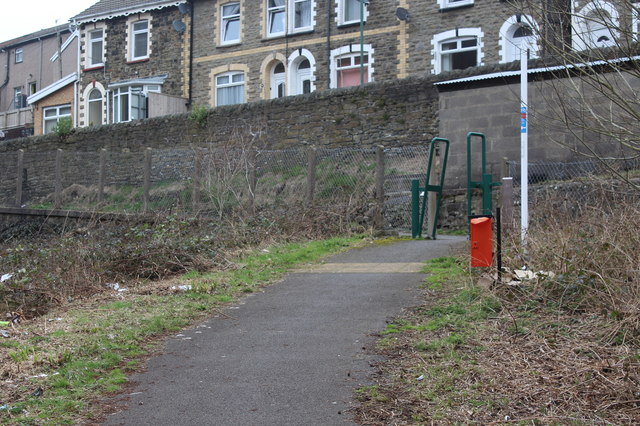
Image: © M J Roscoe Taken: 20 Mar 2019
The trail, part of National Cycle Route 465, goes up on to the street and then turns left. The houses behind are on Castle Street.
Images are licensed for reuse under creativecommons.org/licenses/by-sa/2.0
Image Location
Latitude
51.727174
Longitude
-3.133472