House at Horsleygate (II)
Introduction
The photograph on this page of House at Horsleygate (II) by Neil Theasby as part of the Geograph project.
The Geograph project started in 2005 with the aim of publishing, organising and preserving representative images for every square kilometre of Great Britain, Ireland and the Isle of Man.

There are currently over 7.5m images from over 14,400 individuals and you can help contribute to the project by visiting https://www.geograph.org.uk
House at Horsleygate (II)
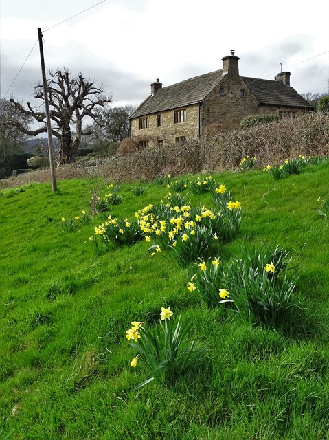
Image: © Neil Theasby Taken: 21 Mar 2019
Perhaps this old stone house has a name but there was no sign to convey that information to passing ramblers or delivery personnel.
Images are licensed for reuse under creativecommons.org/licenses/by-sa/2.0
Image Location


Leaflet Map data © OpenStreetMap
Latitude
53.288432
Longitude
-1.535392