Groes Fawr Close, Marshfield
Introduction
The photograph on this page of Groes Fawr Close, Marshfield by Jaggery as part of the Geograph project.
The Geograph project started in 2005 with the aim of publishing, organising and preserving representative images for every square kilometre of Great Britain, Ireland and the Isle of Man.

There are currently over 7.5m images from over 14,400 individuals and you can help contribute to the project by visiting https://www.geograph.org.uk
Groes Fawr Close, Marshfield
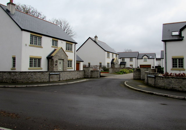
Image: © Jaggery Taken: 21 Mar 2019
Houses built in the second decade of the 21st century viewed across Church Lane near the Marshfield Road junction in March 2019.
Images are licensed for reuse under creativecommons.org/licenses/by-sa/2.0
Image Location
Latitude
51.533324
Longitude
-3.065213