St Osyth: Warren Lane
Introduction
The photograph on this page of St Osyth: Warren Lane by Nigel Cox as part of the Geograph project.
The Geograph project started in 2005 with the aim of publishing, organising and preserving representative images for every square kilometre of Great Britain, Ireland and the Isle of Man.

There are currently over 7.5m images from over 14,400 individuals and you can help contribute to the project by visiting https://www.geograph.org.uk
St Osyth: Warren Lane
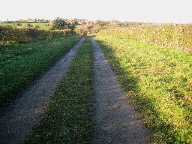
Image: © Nigel Cox Taken: 17 Mar 2019
Warren Lane runs southwards out of St Osyth, but peters out into a green lane and a farm track. It is a public footpath. This is the view looking back towards St Osyth. Please see Paul's Image] for a similar view taken in the summertime.
Images are licensed for reuse under creativecommons.org/licenses/by-sa/2.0
Image Location


Leaflet Map data © OpenStreetMap
Latitude
51.792913
Longitude
1.076418