St Osyth: Reed Pond
Introduction
The photograph on this page of St Osyth: Reed Pond by Nigel Cox as part of the Geograph project.
The Geograph project started in 2005 with the aim of publishing, organising and preserving representative images for every square kilometre of Great Britain, Ireland and the Isle of Man.

There are currently over 7.5m images from over 14,400 individuals and you can help contribute to the project by visiting https://www.geograph.org.uk
St Osyth: Reed Pond
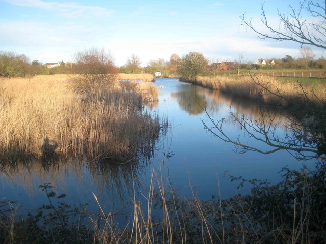
Image: © Nigel Cox Taken: 17 Mar 2019
This body of water in St Osyth is actually called Reed Pond. It is upstream of Mill Dam Lake but separated from it by a causeway. For a summertime view from the same camera position please see Paul's Image]
Images are licensed for reuse under creativecommons.org/licenses/by-sa/2.0
Image Location
Latitude
51.793503
Longitude
1.077908