Pitzhanger Manor (restored) and Gallery
Introduction
The photograph on this page of Pitzhanger Manor (restored) and Gallery by David Hawgood as part of the Geograph project.
The Geograph project started in 2005 with the aim of publishing, organising and preserving representative images for every square kilometre of Great Britain, Ireland and the Isle of Man.

There are currently over 7.5m images from over 14,400 individuals and you can help contribute to the project by visiting https://www.geograph.org.uk
Pitzhanger Manor (restored) and Gallery
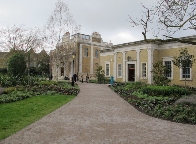
Image: © David Hawgood Taken: 19 Mar 2019
The gallery is the building on the right; this area was originally the kitchens, and became the public library when the council bought the property. The manor is beyond.
Images are licensed for reuse under creativecommons.org/licenses/by-sa/2.0
Image Location
Latitude
51.510935
Longitude
-0.3072