Sunken lane on the North Downs
Introduction
The photograph on this page of Sunken lane on the North Downs by Marathon as part of the Geograph project.
The Geograph project started in 2005 with the aim of publishing, organising and preserving representative images for every square kilometre of Great Britain, Ireland and the Isle of Man.

There are currently over 7.5m images from over 14,400 individuals and you can help contribute to the project by visiting https://www.geograph.org.uk
Sunken lane on the North Downs
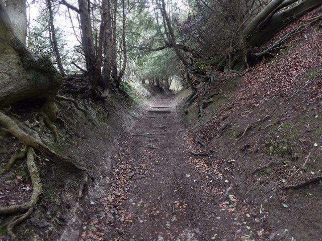
Image: © Marathon Taken: 2 Mar 2019
With its high banks, this is clearly an old trackway. It is now followed by both the Wealdway and the North Downs Way leading up from the Pilgrim's Way at the foot of the North Downs to the summit of the scarp slope a little way ahead. On this day the strong winds through the trees made it feel like something out of the Lord of the Rings.
Images are licensed for reuse under creativecommons.org/licenses/by-sa/2.0
Image Location
Latitude
51.327763
Longitude
0.367005