Tamatown
Introduction
The photograph on this page of Tamatown by Derek Harper as part of the Geograph project.
The Geograph project started in 2005 with the aim of publishing, organising and preserving representative images for every square kilometre of Great Britain, Ireland and the Isle of Man.

There are currently over 7.5m images from over 14,400 individuals and you can help contribute to the project by visiting https://www.geograph.org.uk
Tamatown
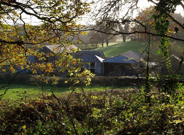
Image: © Derek Harper Taken: 9 Nov 2007
The farm is on a tiny wandering lane on the edge of the Tamar valley. The photo was taken from beside the remains of the Bude Canal which runs through woodland a little way above the valley floor.
Images are licensed for reuse under creativecommons.org/licenses/by-sa/2.0
Image Location
Latitude
50.693249
Longitude
-4.357606