Road Closed at Trill Cross
Introduction
The photograph on this page of Road Closed at Trill Cross by Nigel Mykura as part of the Geograph project.
The Geograph project started in 2005 with the aim of publishing, organising and preserving representative images for every square kilometre of Great Britain, Ireland and the Isle of Man.

There are currently over 7.5m images from over 14,400 individuals and you can help contribute to the project by visiting https://www.geograph.org.uk
Road Closed at Trill Cross
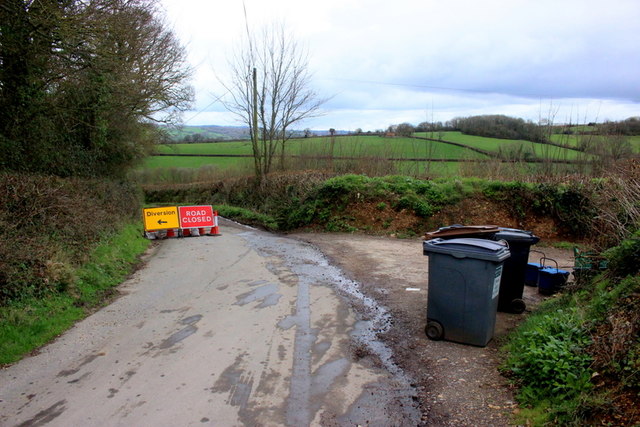
Image: © Nigel Mykura Taken: 18 Mar 2019
Although the sign on Pudleylake Rd said closed it was passable as some repairs had already been made to the road and the workforce was no longer present. The track on the right goes down to Great Trill.
Images are licensed for reuse under creativecommons.org/licenses/by-sa/2.0
Image Location
Latitude
50.756319
Longitude
-3.012029