St Asaph Recreation Ground
Introduction
The photograph on this page of St Asaph Recreation Ground by Eirian Evans as part of the Geograph project.
The Geograph project started in 2005 with the aim of publishing, organising and preserving representative images for every square kilometre of Great Britain, Ireland and the Isle of Man.

There are currently over 7.5m images from over 14,400 individuals and you can help contribute to the project by visiting https://www.geograph.org.uk
St Asaph Recreation Ground
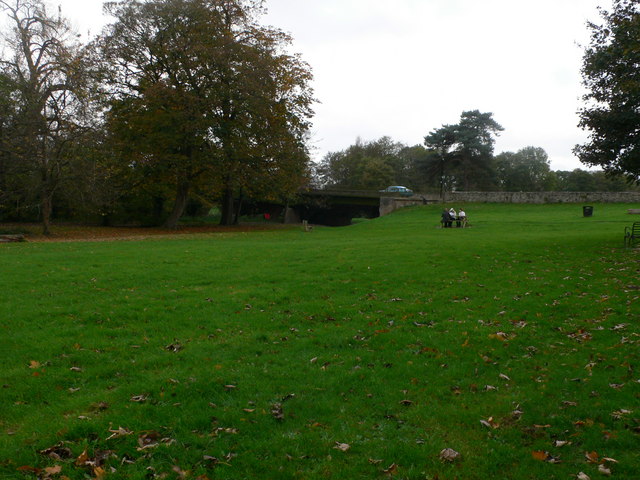
Image: © Eirian Evans Taken: 9 Nov 2007
Running parallel with the river Elwy, the land for the recreation ground was donated by Mr Charles Hughes, Grove House
Images are licensed for reuse under creativecommons.org/licenses/by-sa/2.0
Image Location
Latitude
53.256001
Longitude
-3.44796