Collapse of Road on Abbey Gate Lane
Introduction
The photograph on this page of Collapse of Road on Abbey Gate Lane by Nigel Mykura as part of the Geograph project.
The Geograph project started in 2005 with the aim of publishing, organising and preserving representative images for every square kilometre of Great Britain, Ireland and the Isle of Man.

There are currently over 7.5m images from over 14,400 individuals and you can help contribute to the project by visiting https://www.geograph.org.uk
Collapse of Road on Abbey Gate Lane
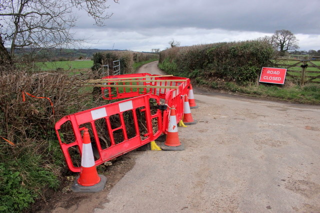
Image: © Nigel Mykura Taken: 18 Mar 2019
A significant portion of this lane has been eroded and collapsed where a stream runs under it at its junction with Trill Lane.
Images are licensed for reuse under creativecommons.org/licenses/by-sa/2.0
Image Location
Latitude
50.766174
Longitude
-3.006002