Capel y Rhiw, Pwllglas
Introduction
The photograph on this page of Capel y Rhiw, Pwllglas by Eirian Evans as part of the Geograph project.
The Geograph project started in 2005 with the aim of publishing, organising and preserving representative images for every square kilometre of Great Britain, Ireland and the Isle of Man.

There are currently over 7.5m images from over 14,400 individuals and you can help contribute to the project by visiting https://www.geograph.org.uk
Capel y Rhiw, Pwllglas
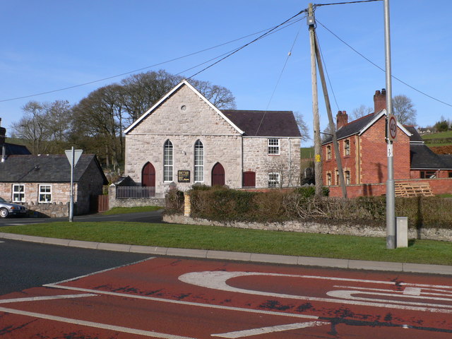
Image: © Eirian Evans Taken: 8 Feb 2011
Just off the A494, the chapel is at the centre of Pwllglas, the old 19th century houses to the east and newer developments to the west.
Images are licensed for reuse under creativecommons.org/licenses/by-sa/2.0
Image Location
Latitude
53.083115
Longitude
-3.317631