Harris Bridge, Cockermouth
Introduction
The photograph on this page of Harris Bridge, Cockermouth by Ian Taylor as part of the Geograph project.
The Geograph project started in 2005 with the aim of publishing, organising and preserving representative images for every square kilometre of Great Britain, Ireland and the Isle of Man.

There are currently over 7.5m images from over 14,400 individuals and you can help contribute to the project by visiting https://www.geograph.org.uk
Harris Bridge, Cockermouth
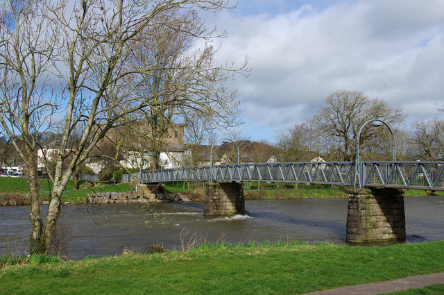
Image: © Ian Taylor Taken: 12 Mar 2019
Also known as Millers Bridge, this footbridge spans the River Derwent. It was rebuilt after the 2009 floods. The abutment on the far side (right bank) collapsed causing the far end of the span to drop into the river. (See Image & https://www.visitcumbria.com/cockermouth-floods/#gallery/34d7ddbca68be69d50f987eaca91a83e/2980 )
Images are licensed for reuse under creativecommons.org/licenses/by-sa/2.0
Image Location


Leaflet Map data © OpenStreetMap
Latitude
54.664546
Longitude
-3.367854