B4632 Southam Road distances sign, Prestbury
Introduction
The photograph on this page of B4632 Southam Road distances sign, Prestbury by Jaggery as part of the Geograph project.
The Geograph project started in 2005 with the aim of publishing, organising and preserving representative images for every square kilometre of Great Britain, Ireland and the Isle of Man.

There are currently over 7.5m images from over 14,400 individuals and you can help contribute to the project by visiting https://www.geograph.org.uk
B4632 Southam Road distances sign, Prestbury
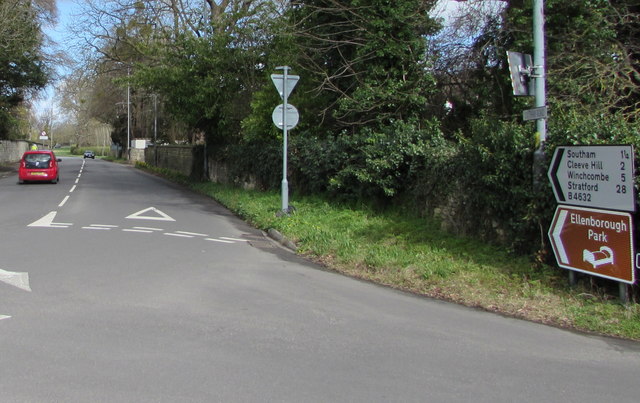
Image: © Jaggery Taken: 17 Mar 2019
The sign on the corner of Noverton Lane shows Southam 1¼ (miles), Cleeve Hill 2, Winchcombe 5, Stratford (-upon-Avon) 28.
Images are licensed for reuse under creativecommons.org/licenses/by-sa/2.0
Image Location
Latitude
51.913084
Longitude
-2.040369