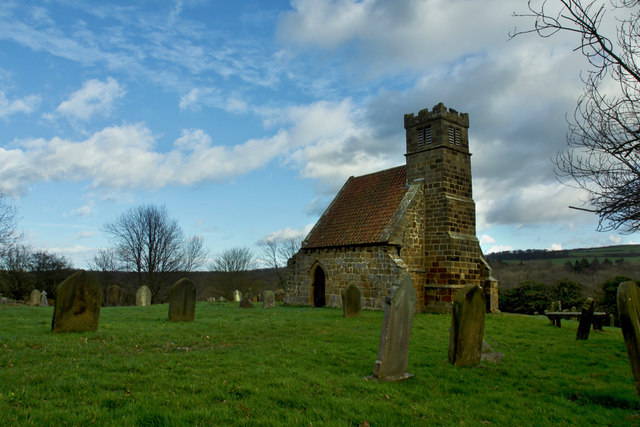
St Andrews Old Church
Introduction
The photograph on this page of St Andrews Old Church by Mick Garratt as part of the Geograph project.
The Geograph project started in 2005 with the aim of publishing, organising and preserving representative images for every square kilometre of Great Britain, Ireland and the Isle of Man.
There are currently over 7.5m images from over 14,400 individuals and you can help contribute to the project by visiting https://www.geograph.org.uk

Image: © Mick Garratt Taken: 13 Mar 2019
Once thought to be the smallest church in England although that honour goes to a Wiltshire Church at Bremilham. It was actually once part of a bigger church dating back to the 12th-century although a fragment of a 9th-century cross has been found suggesting an even older building. The church stands beside the B1268, a road which was built to bypass the village of Upleatham in the late 19th-century. The old map shows a church isolated from the Victorian village, suggesting that the medieval village mentioned in the Domesday Book would have been clustered around the church. From my photo-diary for 13 March 2019 http://www.fhithich.uk/?p=20912

