Lane leading to the ruined lodge of the Forkhill Rectory
Introduction
The photograph on this page of Lane leading to the ruined lodge of the Forkhill Rectory by Eric Jones as part of the Geograph project.
The Geograph project started in 2005 with the aim of publishing, organising and preserving representative images for every square kilometre of Great Britain, Ireland and the Isle of Man.

There are currently over 7.5m images from over 14,400 individuals and you can help contribute to the project by visiting https://www.geograph.org.uk
Lane leading to the ruined lodge of the Forkhill Rectory
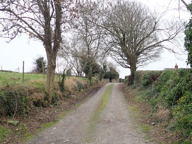
Image: © Eric Jones Taken: 4 Jan 2019
The CoI rectory and its lodge off the Glendesha Road were destroyed during the War of Independence to stop the British Army from setting up an observation post at the vicarage.
Images are licensed for reuse under creativecommons.org/licenses/by-sa/2.0
Image Location
Latitude
54.103084
Longitude
-6.474302