The lane to the church, Kilvington
Introduction
The photograph on this page of The lane to the church, Kilvington by Jonathan Thacker as part of the Geograph project.
The Geograph project started in 2005 with the aim of publishing, organising and preserving representative images for every square kilometre of Great Britain, Ireland and the Isle of Man.

There are currently over 7.5m images from over 14,400 individuals and you can help contribute to the project by visiting https://www.geograph.org.uk
The lane to the church, Kilvington
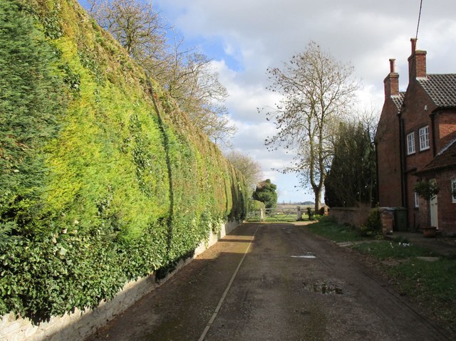
Image: © Jonathan Thacker Taken: 14 Mar 2019
Access to the church is through the gate at the end of the land and then through another gate (hidden in this picture) to the left.
Images are licensed for reuse under creativecommons.org/licenses/by-sa/2.0
Image Location
Latitude
52.976945
Longitude
-0.809581