River Churn, Cirencester
Introduction
The photograph on this page of River Churn, Cirencester by Brian Robert Marshall as part of the Geograph project.
The Geograph project started in 2005 with the aim of publishing, organising and preserving representative images for every square kilometre of Great Britain, Ireland and the Isle of Man.

There are currently over 7.5m images from over 14,400 individuals and you can help contribute to the project by visiting https://www.geograph.org.uk
River Churn, Cirencester
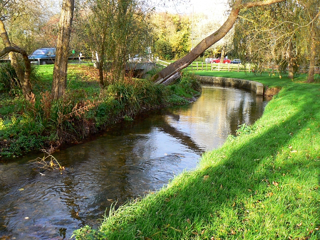
Image: © Brian Robert Marshall Taken: 10 Nov 2007
The Churn rises near Cheltenham and joins the Thames near Cricklade, passing through Cirencester where this picture was taken.
Images are licensed for reuse under creativecommons.org/licenses/by-sa/2.0
Image Location
Latitude
51.707638
Longitude
-1.953642