Disused compound
Introduction
The photograph on this page of Disused compound by Richard Dorrell as part of the Geograph project.
The Geograph project started in 2005 with the aim of publishing, organising and preserving representative images for every square kilometre of Great Britain, Ireland and the Isle of Man.

There are currently over 7.5m images from over 14,400 individuals and you can help contribute to the project by visiting https://www.geograph.org.uk
Disused compound
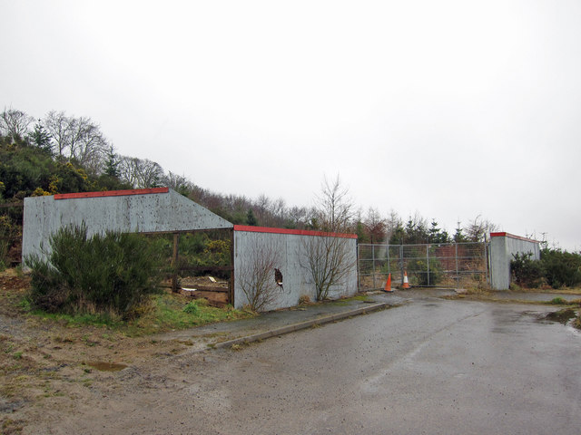
Image: © Richard Dorrell Taken: 16 Mar 2019
This is at the very end of Ulladale Crescent, Strathpeffer. There is permission for several large detached houses to be built on land here, and clearly, this compound was erected for storage of materials. However, for whatever reason, the building work has not taken place and the compound stands derelict.
Images are licensed for reuse under creativecommons.org/licenses/by-sa/2.0
Image Location
Latitude
57.586693
Longitude
-4.546064