The Buttress
Introduction
The photograph on this page of The Buttress by Carroll Pierce as part of the Geograph project.
The Geograph project started in 2005 with the aim of publishing, organising and preserving representative images for every square kilometre of Great Britain, Ireland and the Isle of Man.

There are currently over 7.5m images from over 14,400 individuals and you can help contribute to the project by visiting https://www.geograph.org.uk
The Buttress
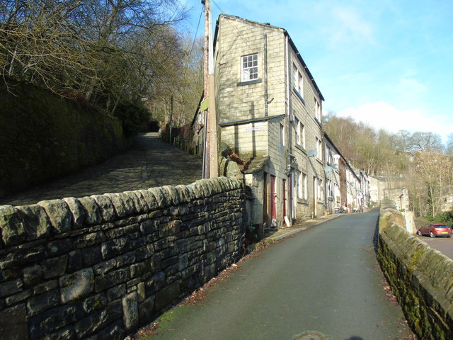
Image: © Carroll Pierce Taken: 11 Feb 2019
To the left is Royd Mount, otherwise known as The Buttress, which leads up to Hepstonstall and to the right is Royd Terrace, Hebden Bridge, West Yorkshire.
Images are licensed for reuse under creativecommons.org/licenses/by-sa/2.0
Image Location
Latitude
53.743517
Longitude
-2.014518