Urban footpath off Newlaithes Gardens
Introduction
The photograph on this page of Urban footpath off Newlaithes Gardens by Stephen Craven as part of the Geograph project.
The Geograph project started in 2005 with the aim of publishing, organising and preserving representative images for every square kilometre of Great Britain, Ireland and the Isle of Man.

There are currently over 7.5m images from over 14,400 individuals and you can help contribute to the project by visiting https://www.geograph.org.uk
Urban footpath off Newlaithes Gardens
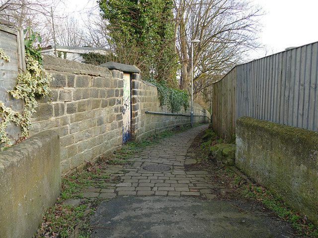
Image: © Stephen Craven Taken: 12 Mar 2019
The path leads down to Newlaithes Road in the first instance, then onto Nelway Lane. The route of the footpath predates the residential development in this area, and is probably part of a much older route that leads in nearly a straight line between the sites of the ancient chapels of Bramley and Horsforth via Newlay Bridge. The bend here marks the location of a former field boundary.
Images are licensed for reuse under creativecommons.org/licenses/by-sa/2.0
Image Location


Leaflet Map data © OpenStreetMap
Latitude
53.829716
Longitude
-1.641098