Iron Age Dike
Introduction
The photograph on this page of Iron Age Dike by Glyn Baker as part of the Geograph project.
The Geograph project started in 2005 with the aim of publishing, organising and preserving representative images for every square kilometre of Great Britain, Ireland and the Isle of Man.

There are currently over 7.5m images from over 14,400 individuals and you can help contribute to the project by visiting https://www.geograph.org.uk
Iron Age Dike
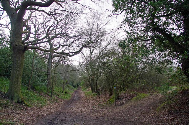
Image: © Glyn Baker Taken: 14 Mar 2019
Part of Colchesters pre-Roman defences, I assume of a similar date to Image . A bridleway runs along the main track and a footpath to the right along the top of the dike parallel with the edge of a Image
Images are licensed for reuse under creativecommons.org/licenses/by-sa/2.0
Image Location
Latitude
51.872218
Longitude
0.845147