New industrial units near Mosterton
Introduction
The photograph on this page of New industrial units near Mosterton by Roger Cornfoot as part of the Geograph project.
The Geograph project started in 2005 with the aim of publishing, organising and preserving representative images for every square kilometre of Great Britain, Ireland and the Isle of Man.

There are currently over 7.5m images from over 14,400 individuals and you can help contribute to the project by visiting https://www.geograph.org.uk
New industrial units near Mosterton
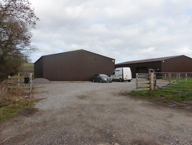
Image: © Roger Cornfoot Taken: 13 Mar 2019
Their (Halstock) boundary fence appears to have blocked off the right of way shown here on OS maps.
Images are licensed for reuse under creativecommons.org/licenses/by-sa/2.0
Image Location


Leaflet Map data © OpenStreetMap
Latitude
50.841084
Longitude
-2.783211