Derelict tin house
Introduction
The photograph on this page of Derelict tin house by Robin Webster as part of the Geograph project.
The Geograph project started in 2005 with the aim of publishing, organising and preserving representative images for every square kilometre of Great Britain, Ireland and the Isle of Man.

There are currently over 7.5m images from over 14,400 individuals and you can help contribute to the project by visiting https://www.geograph.org.uk
Derelict tin house
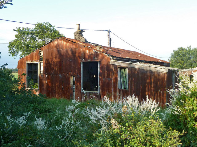
Image: © Robin Webster Taken: 10 Jul 2011
If old maps have it right, this corrugated iron structure came into being between the world wars, and evidently went out of use some time ago. The Coal Road is to the right, now publicly only a bridleway. Immediately beyond the house is Muckingford Road.
Images are licensed for reuse under creativecommons.org/licenses/by-sa/2.0
Image Location
Latitude
51.48226
Longitude
0.389545