Disused part of Fort Road, Tilbury
Introduction
The photograph on this page of Disused part of Fort Road, Tilbury by Robin Webster as part of the Geograph project.
The Geograph project started in 2005 with the aim of publishing, organising and preserving representative images for every square kilometre of Great Britain, Ireland and the Isle of Man.

There are currently over 7.5m images from over 14,400 individuals and you can help contribute to the project by visiting https://www.geograph.org.uk
Disused part of Fort Road, Tilbury
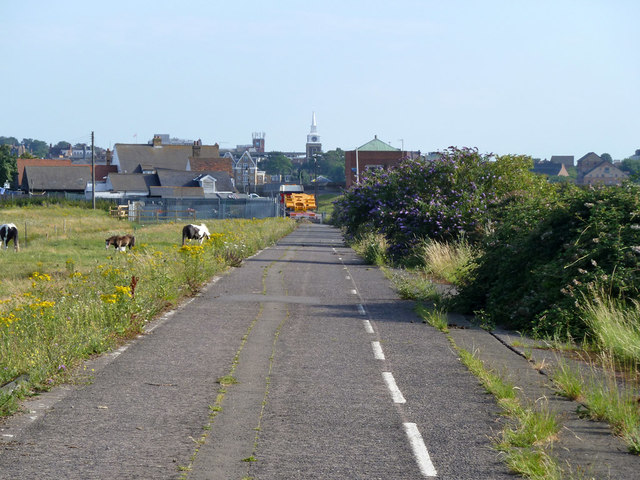
Image: © Robin Webster Taken: 10 Jul 2011
This part has been bypassed by a new route. The church directly in line with the road is St. George's, Gravesend.
Images are licensed for reuse under creativecommons.org/licenses/by-sa/2.0
Image Location
Latitude
51.454048
Longitude
0.37051