Thorpe Lodge
Introduction
The photograph on this page of Thorpe Lodge by Evelyn Simak as part of the Geograph project.
The Geograph project started in 2005 with the aim of publishing, organising and preserving representative images for every square kilometre of Great Britain, Ireland and the Isle of Man.

There are currently over 7.5m images from over 14,400 individuals and you can help contribute to the project by visiting https://www.geograph.org.uk
Thorpe Lodge
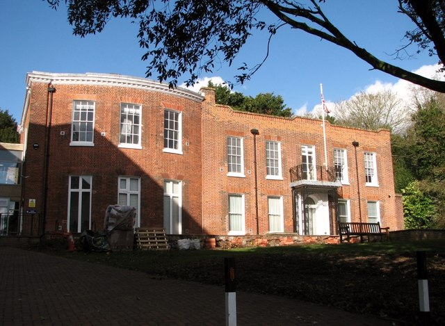
Image: © Evelyn Simak Taken: 14 Mar 2019
Thorpe Lodge dates from between 1755 and 1842, but some think that it looks earlier. When the Broadland District Council offices were built adjacent to it in 1974, there were reports of underground passages in the vicinity, which may be tunnels under the road leading to the staithe on the other side, or to chalk workings. The Grade 2 listed building is currently occupied by offices of the Broadland District Council.
Images are licensed for reuse under creativecommons.org/licenses/by-sa/2.0
Image Location
Latitude
52.627291
Longitude
1.327523