Broadland District Council Emergency Centre
Introduction
The photograph on this page of Broadland District Council Emergency Centre by Evelyn Simak as part of the Geograph project.
The Geograph project started in 2005 with the aim of publishing, organising and preserving representative images for every square kilometre of Great Britain, Ireland and the Isle of Man.

There are currently over 7.5m images from over 14,400 individuals and you can help contribute to the project by visiting https://www.geograph.org.uk
Broadland District Council Emergency Centre
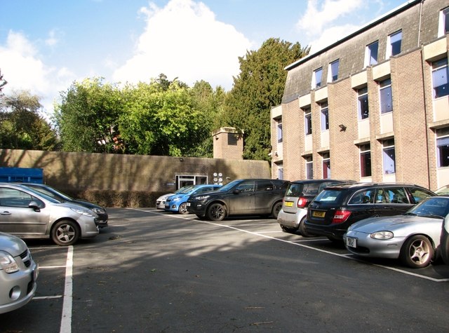
Image: © Evelyn Simak Taken: 14 Mar 2019
Government emergency centres are frequently referred to as War Headquarters and were constructed specifically for government executives to retreat to in the event of a nuclear fall-out during the Cold War era. It is situated adjacent to the council offices, at the end of the council staff car park.
Images are licensed for reuse under creativecommons.org/licenses/by-sa/2.0
Image Location
Latitude
52.627487
Longitude
1.326946