Overtoun House Nature Trail
Introduction
The photograph on this page of Overtoun House Nature Trail by Lairich Rig as part of the Geograph project.
The Geograph project started in 2005 with the aim of publishing, organising and preserving representative images for every square kilometre of Great Britain, Ireland and the Isle of Man.

There are currently over 7.5m images from over 14,400 individuals and you can help contribute to the project by visiting https://www.geograph.org.uk
Overtoun House Nature Trail
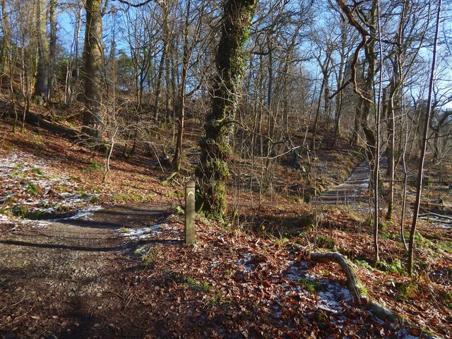
Image: © Lairich Rig Taken: 1 Feb 2019
The view is from further along the path shown in Image, and it includes one of the colour-coded marker posts that were added in recent years (see the end-note).
Images are licensed for reuse under creativecommons.org/licenses/by-sa/2.0
Image Location
Latitude
55.952365
Longitude
-4.529813