Lane blocked
Introduction
The photograph on this page of Lane blocked by Chris Thomas-Atkin as part of the Geograph project.
The Geograph project started in 2005 with the aim of publishing, organising and preserving representative images for every square kilometre of Great Britain, Ireland and the Isle of Man.

There are currently over 7.5m images from over 14,400 individuals and you can help contribute to the project by visiting https://www.geograph.org.uk
Lane blocked
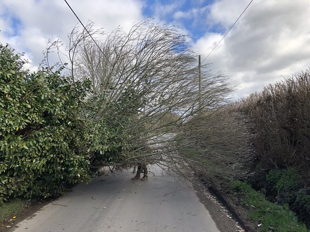
Image: © Chris Thomas-Atkin Taken: 10 Mar 2019
Ripe Lane was temporarily closed between Cherry Cottage and Box Cottage due to a fallen tree. Gale force winds in the early hours were still gusting strongly, and a local resident was starting to tackle its removal. It was just about possible to either squeeze past the tree on the right hand side, or consider crawling underneath it. I did the former.
Images are licensed for reuse under creativecommons.org/licenses/by-sa/2.0
Image Location
Latitude
50.875697
Longitude
0.150839