Farm buildings at Borth
Introduction
The photograph on this page of Farm buildings at Borth by John Gibson as part of the Geograph project.
The Geograph project started in 2005 with the aim of publishing, organising and preserving representative images for every square kilometre of Great Britain, Ireland and the Isle of Man.

There are currently over 7.5m images from over 14,400 individuals and you can help contribute to the project by visiting https://www.geograph.org.uk
Farm buildings at Borth
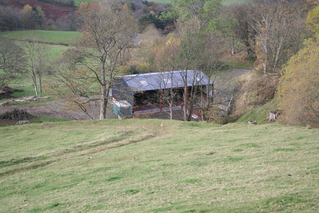
Image: © John Gibson Taken: 9 Nov 2007
These modern farm buildings stand in improved pastures on the slopes of Allt y Moch at Borth. The photo is taken from the upper end of the narrow tarmac road that runs to the right of the buildings and descends through Pencraig and the valley of the Nant Feinion to join the A470 by Glanfeinion, east of Llanidloes.
Images are licensed for reuse under creativecommons.org/licenses/by-sa/2.0
Image Location
Latitude
52.451019
Longitude
-3.440832