Broxbourne Gardens
Introduction
The photograph on this page of Broxbourne Gardens by Ian Capper as part of the Geograph project.
The Geograph project started in 2005 with the aim of publishing, organising and preserving representative images for every square kilometre of Great Britain, Ireland and the Isle of Man.

There are currently over 7.5m images from over 14,400 individuals and you can help contribute to the project by visiting https://www.geograph.org.uk
Broxbourne Gardens
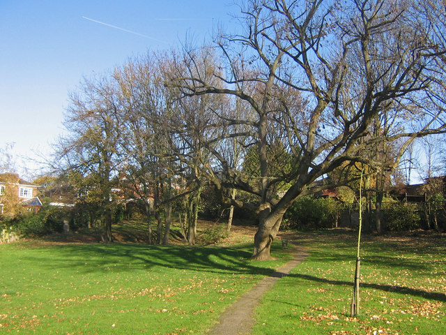
Image: © Ian Capper Taken: 9 Nov 2007
This small open space lies in the midst of the interwar and more modern development between Orpington High Street and the railway.
Images are licensed for reuse under creativecommons.org/licenses/by-sa/2.0
Image Location


Leaflet Map data © OpenStreetMap
Latitude
51.378832
Longitude
0.093726