Development site
Introduction
The photograph on this page of Development site by John Baker as part of the Geograph project.
The Geograph project started in 2005 with the aim of publishing, organising and preserving representative images for every square kilometre of Great Britain, Ireland and the Isle of Man.

There are currently over 7.5m images from over 14,400 individuals and you can help contribute to the project by visiting https://www.geograph.org.uk
Development site
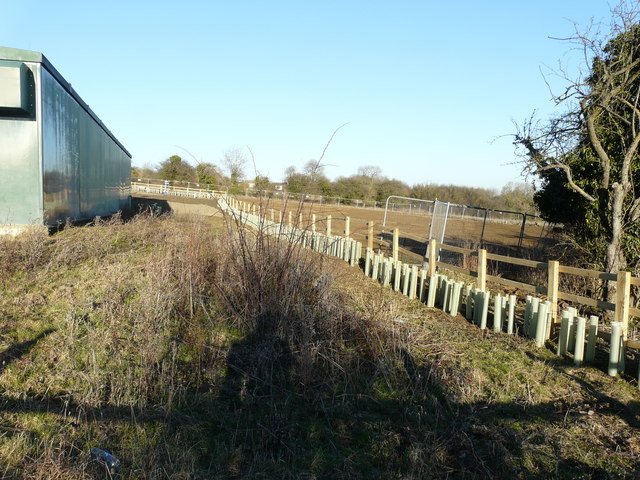
Image: © John Baker Taken: 15 Feb 2019
Viewed from a footpath running between Northampton Road and Moret Avenue. The tuley tubes indicate that a hedge is to be planted here in the future, while the ground beyond looks as if it has been cleared. A wire fence has also been erected round the site.
Images are licensed for reuse under creativecommons.org/licenses/by-sa/2.0
Image Location
Latitude
52.29183
Longitude
-0.718062