Tai yn Ala Uchaf. Houses in Ala Uchaf
Introduction
The photograph on this page of Tai yn Ala Uchaf. Houses in Ala Uchaf by Eric Jones as part of the Geograph project.
The Geograph project started in 2005 with the aim of publishing, organising and preserving representative images for every square kilometre of Great Britain, Ireland and the Isle of Man.

There are currently over 7.5m images from over 14,400 individuals and you can help contribute to the project by visiting https://www.geograph.org.uk
Tai yn Ala Uchaf. Houses in Ala Uchaf
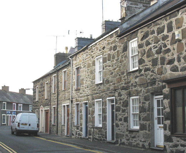
Image: © Eric Jones Taken: 9 Nov 2007
Ala is a corruption of the English word "alley". Ala Uchaf thus is "Upper Alley".
Images are licensed for reuse under creativecommons.org/licenses/by-sa/2.0
Image Location
Latitude
52.888491
Longitude
-4.419707